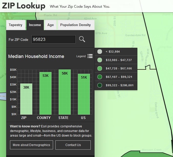
Type any zip code into Esri’s Zip Lookup and you’ll get an excellent and accessible data image of that community based on U.S. Census Data and additional sources.
I’m adding it to The Best Tools For Analyzing Census Data.
Thanks to Google Maps Mania for the tip.


Recent Comments